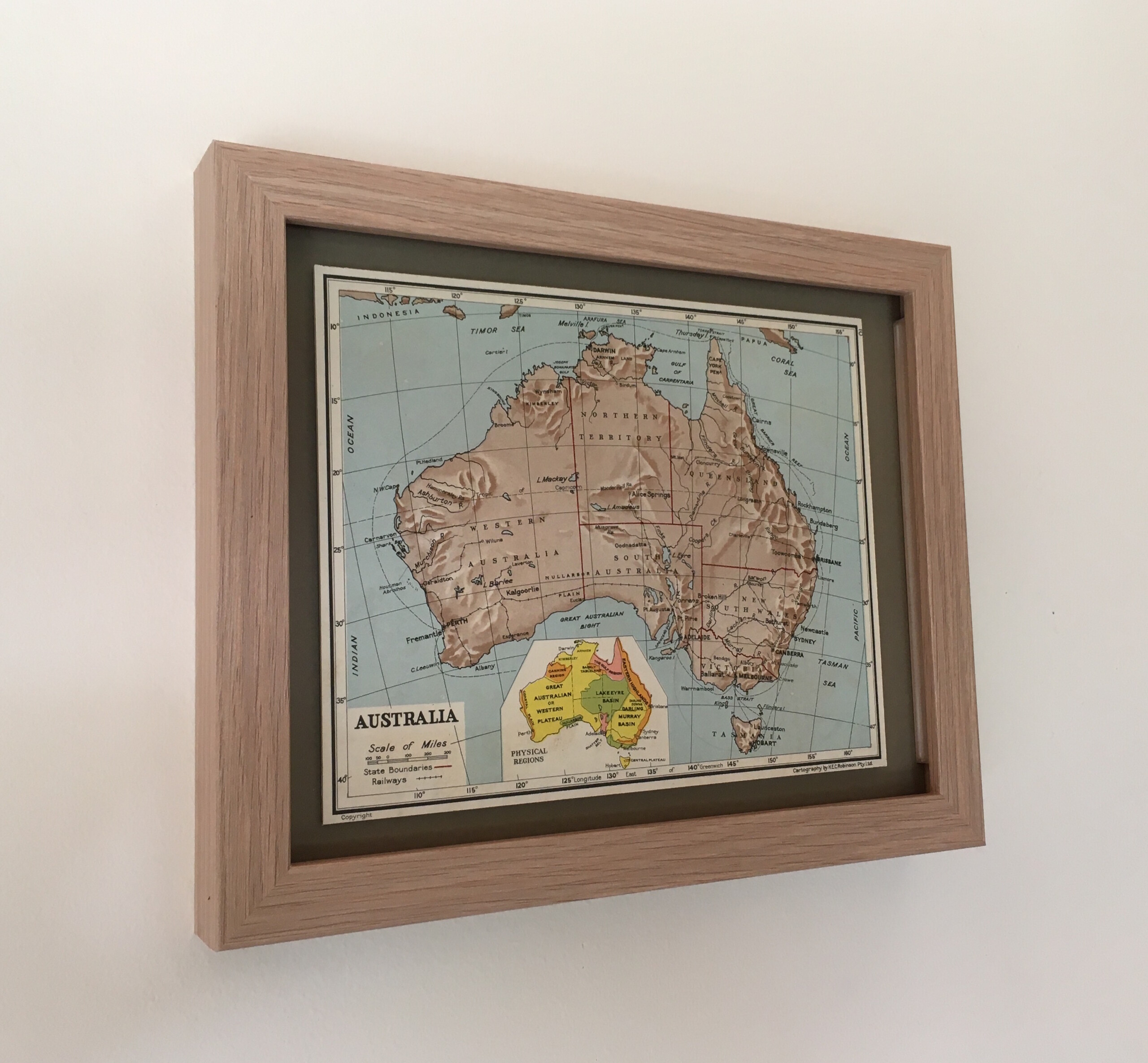
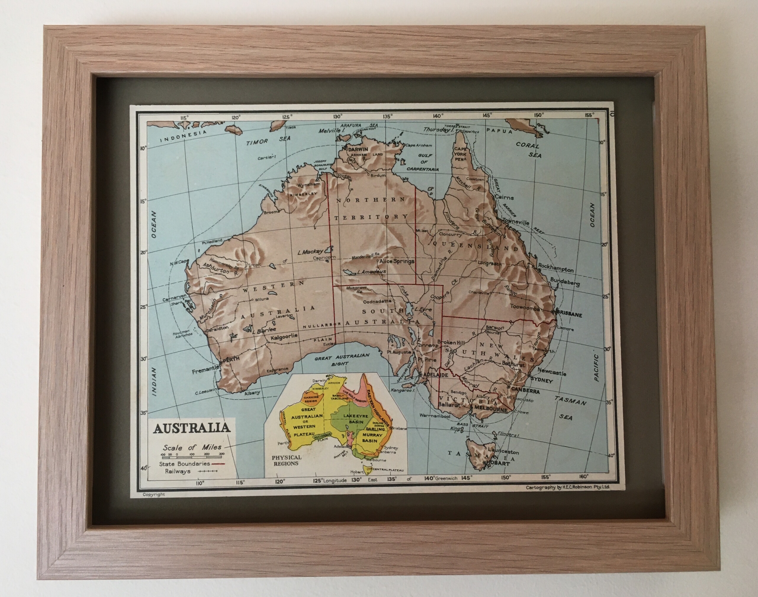
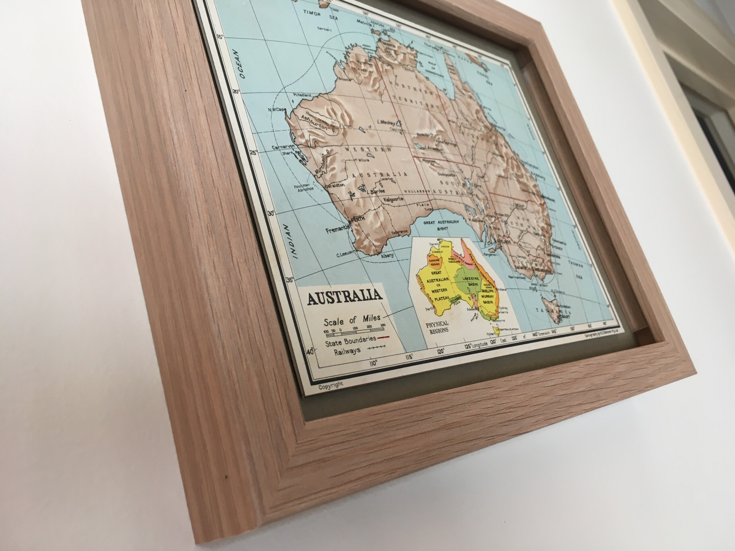
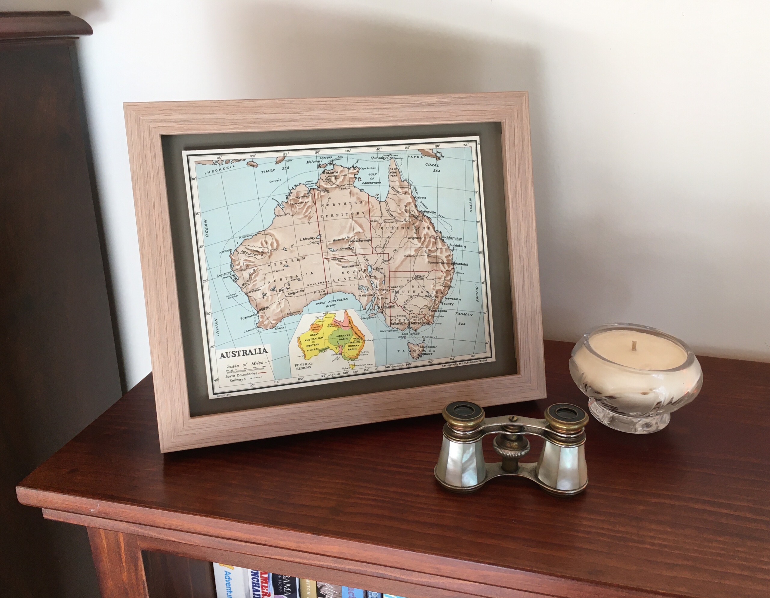
1950s Australia Map
$79.00
Map memories from the 1950s
Australia – c.1950s.
Between 1959 and 1966 H.E.C. Robinson Pty Ltd compiled and published primary school atlases for school children. This map comes from the Primary School 5th Edition.
Each map is mounted onto a custom cut Antiquarian museum grade cotton matboard and floated on an olive green matboard.
Outside frame measures 225mm x 275mm.
Finished in a simple natural oak frame with 2mm glass. Comes with a standback and a hanging option.
For those who love maps or just Australia!
1 in stock